Deprecation Notice: This project has been discontinued. Read on for details.
Imagine being a first responder (paramedic who voluntarily responds to nearby emergencies when off-duty) in Burgenland, Austria. After being alerted via SMS you need to call dispatch and confirm that you can respond. Now it’s time to find the scene of the emergency: so open that SMS again, memorize the address, change to your maps app, enter the address and hope that you can get an accurate route. Especially in rural areas many map applications have incomplete and inconsistent data. While trying to get a route you are interrupted by the dispatcher who updates you about the changed condition of the patient. That adds to your stress level. When you finally get a route you can start driving.
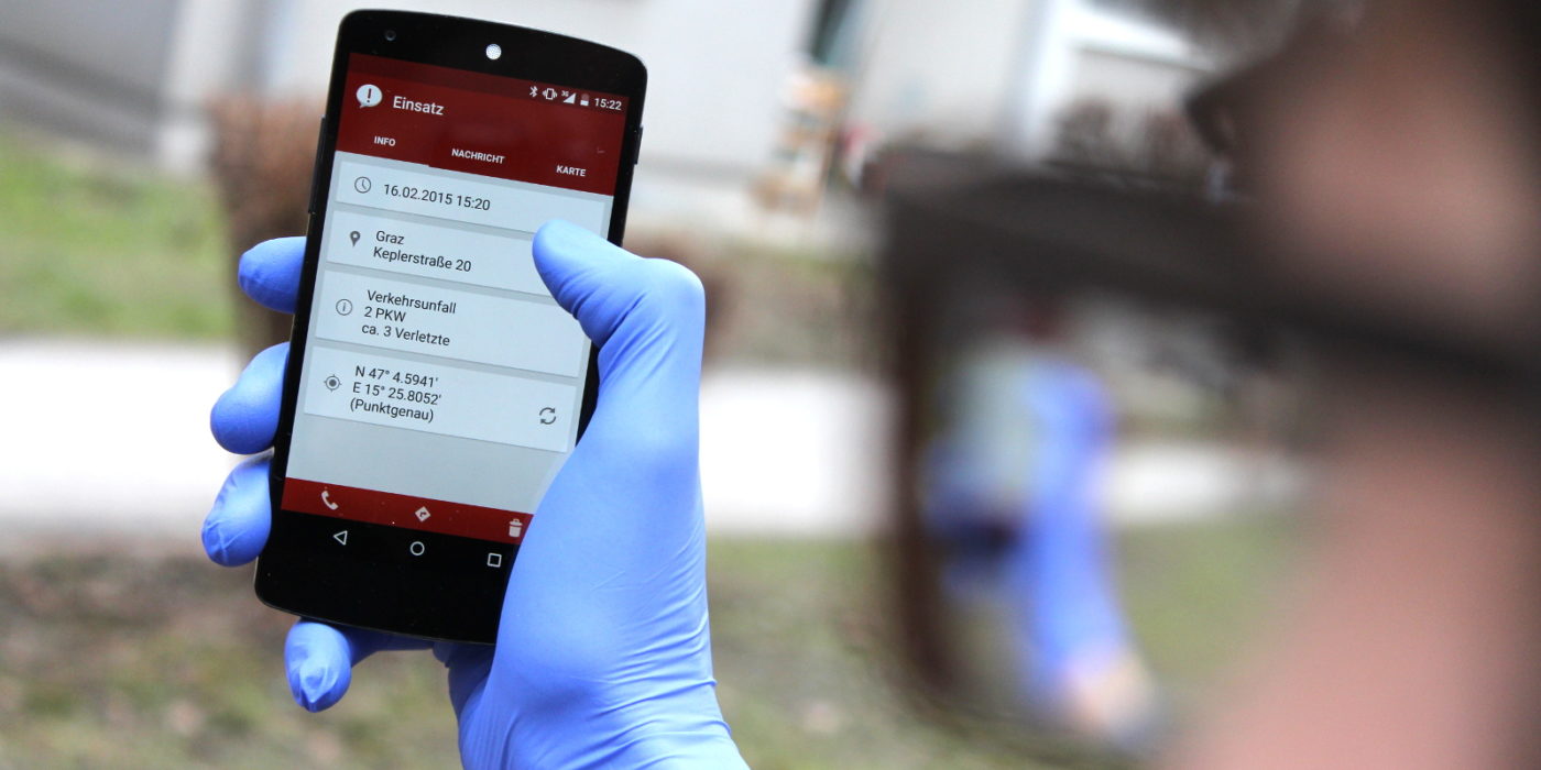
„First Responder Burgenland“ is an Android application that helps volunteer paramedics focus on what matters the most: after being notified of an emergency via SMS the scene of the emergency is displayed on a map and an alarm is sounded. With a single tap you are on the phone with dispatch, and another tap starts navigation to the scene of the emergency.
The issue of incomplete and inconsistent map data in rural areas is solved by obtaining coordinates for the scene of emergency from different data sources, and identifying the result with the highest accuracy.
„First Responder Burgenland“ allows for faster and safer first aid and thus benefits both patients and paramedics. The app was in use from 2012 – 2017 in Burgenland, Austria.
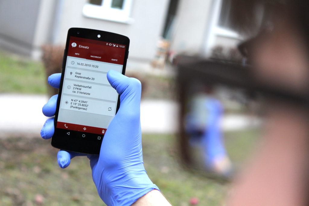
First Responder Burgenland 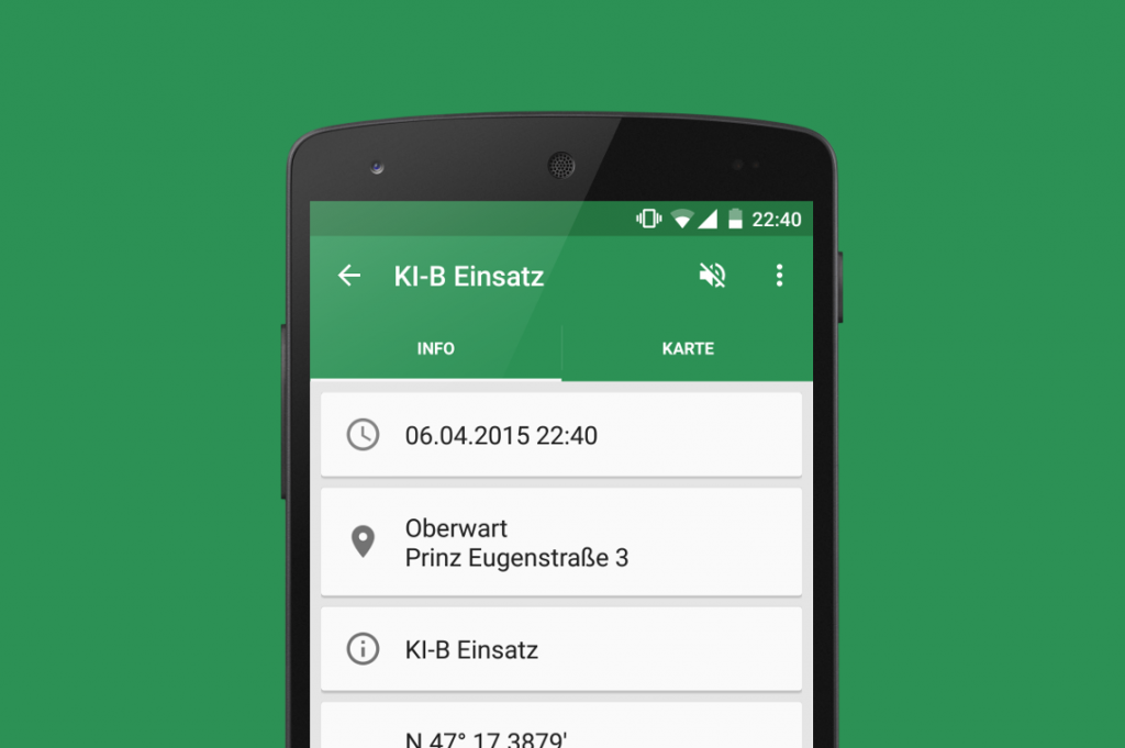
Crisis intervention is also supported. 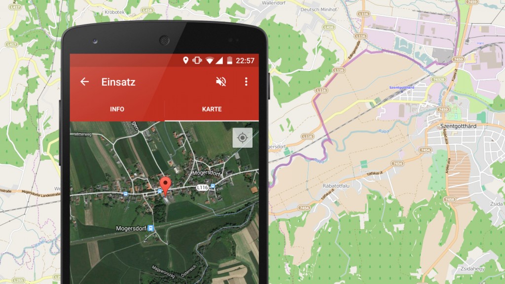
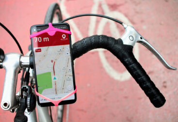
The scene of the emergency is shown on a map. 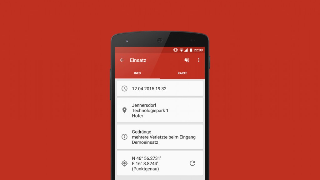
Emergency data is clearly laid out.
Du muss angemeldet sein, um einen Kommentar zu veröffentlichen.